What is a Deep Map?
There is no strict definition of a deep map. But it has been called the “essential next step” following the spatial turn that reshaped the humanities by the turn of the century (Bodenhamer et al. 2015, 1). The aim behind this concept is ultimately to comprehend the many layers of memory, experience and perceptions of a particular place over time through the wide variety of narratives that are anchored there. Going well beyond Euclidean cartography, a deep map may for example interweave official documents with auto-biographical stories, folklore, architecture, archaeological objects, weather reports and natural history. The term is drawn from William Least Heat-Moon’s PrairyErth (a deep map) (1991), in which he layers the many stories of Chase County, Kansas. Other inspiring works in this vein are Wallace Stegner’s Wolf Willow (1962), W.G. Sebald’s The Rings of Saturn (1995), Mike Pearson’s In comes I (2015), and closer to the ancient world, Peter Thonemann’s The Maeander Valley (2011).
“Deep maps are not confined to the tangible or material, but include the discursiveness and ideological dimensions of place, the dreams, hopes, and fears of residents – they are, in short, positioned between matter and meaning.”
- Introduction to Bodenhamer, Corrigan and Harris, Deep Maps and Spatial Narratives, 2015, p.3
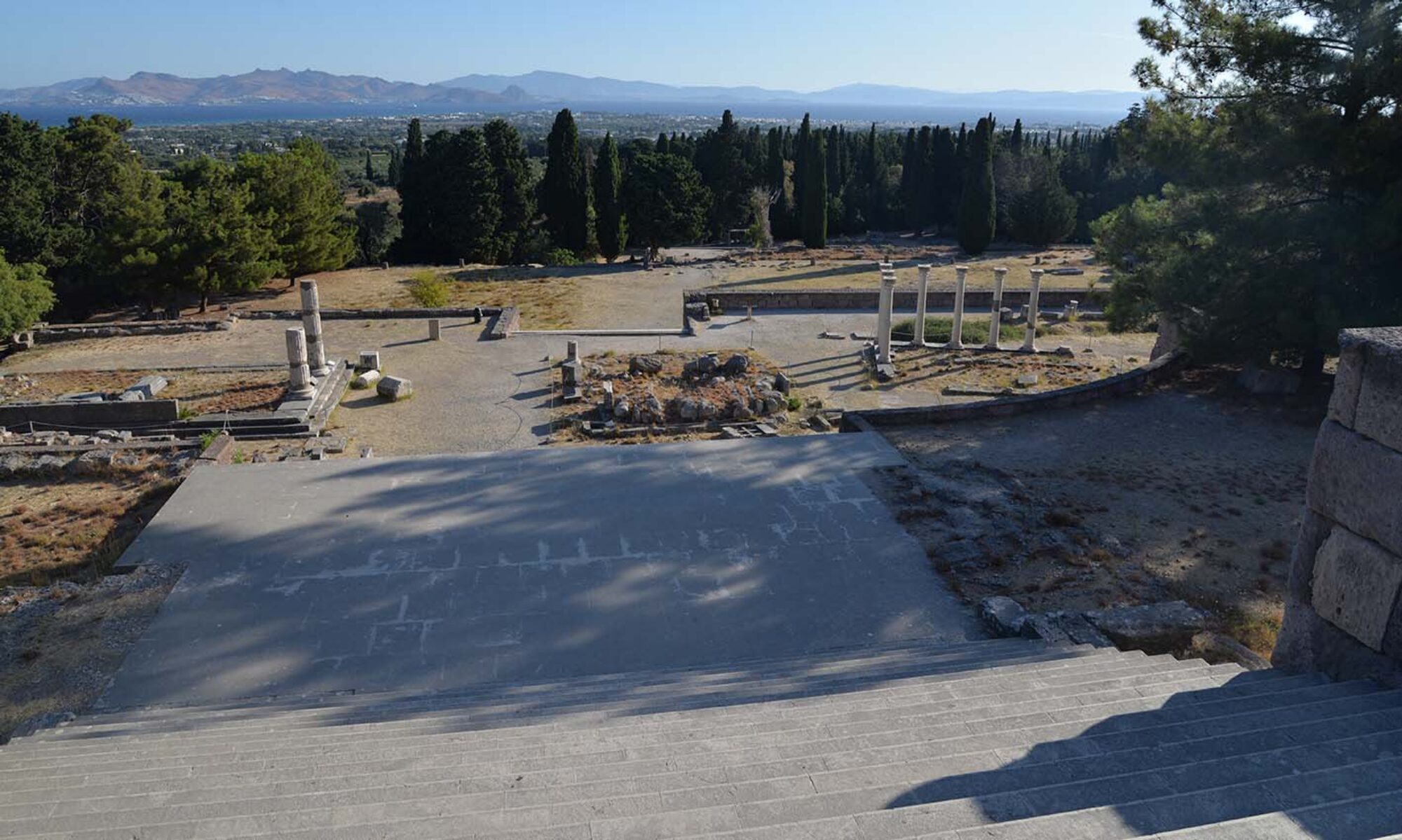
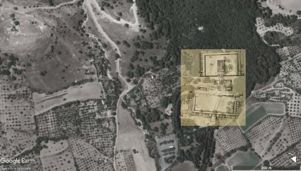
So what is a deep map, really? Well, this can take a variety of forms – from literature as mentioned above, to radio talks, to multi-media installations and other art forms. In my current project I plan to use a geographic information system (GIS) to integrate a variety of sources, as many as possible, at the sanctuaries in the case studies. While the choice of a Euclidean-founded framework to record human actions and experiences is certainly questionable, I think it is nonetheless a useful way to not only spatially anchor these wildly varying narratives, but also to analyse them across different scales. We are looking at these spaces as the hubs of festival networks, and are therefore particularly interested in the impact of geo-politics at the micro-scale. What kinds of stories would a magistrate from Kos tell of the local Asklepieion, and how would this differ from the experience of, say, a delegate from Rhodes, an athlete from Pergamon, a local merchant’s wife, or her slave? A deep map approach can help towards a fuller understanding of the impact of place on society through the many overlapping layers of interaction across time.
Links to related projects:
- A Deep Map of the English Lake District (Lancaster University)
- Amsterdam Time Machine
- HisGIS (Fryske Akademy)
- The Hestia Project – mapping Herodotus (UK Arts and Humanities Research Council)
- Hypercities. Thick mapping in the digital humanities (Harvard University Press)
- Michael Shanks – Deep Mapping (Stanford University)
- Pelagios
- Pompeii Bibliography and Mapping Project (UMass)
Some literature:
- Bodenhamer, D.J., J. Corrigan and T.M. Harris (2015) Deep maps and spatial narratives, Bloomington: Indiana University Press.
- Earley-Spadoni, T. (2017) ‘Spatial history, deep mapping and digital storytelling. Archaeology’s future imagined through an engagement with the Digital Humanities’, Journal of Archaeological Science 30, 95-102.
- Roberts, L. (2016) Deep mapping, Humanities Special Issue 2015-2016, Basel: MDPI.Palladion, C. (2016) ‘New approaches to ancient spatial models: digital humanities and classical geography’, Bulletin of the Institute of Classical Studies 59, 56-70.
- Travis, C. (2015) Abstract machine. Humanities GIS, Redlands, CA: Esri Press.
- Trigg, D. (2012) The memory of place. A phenomenology of the uncanny, Athens: Ohio University Press.
- Zerubavel, E. (2003) Time maps. Collective memory and the social shape of the past, Chicago: University of Chicago Press.