One very good means of communicating spatial narratives to a larger audience is through ArcGIS Story Maps. We have used story maps to discover and communicate different aspects of the Asklepieion – some of these are presented here, with more to follow!
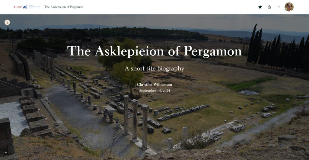
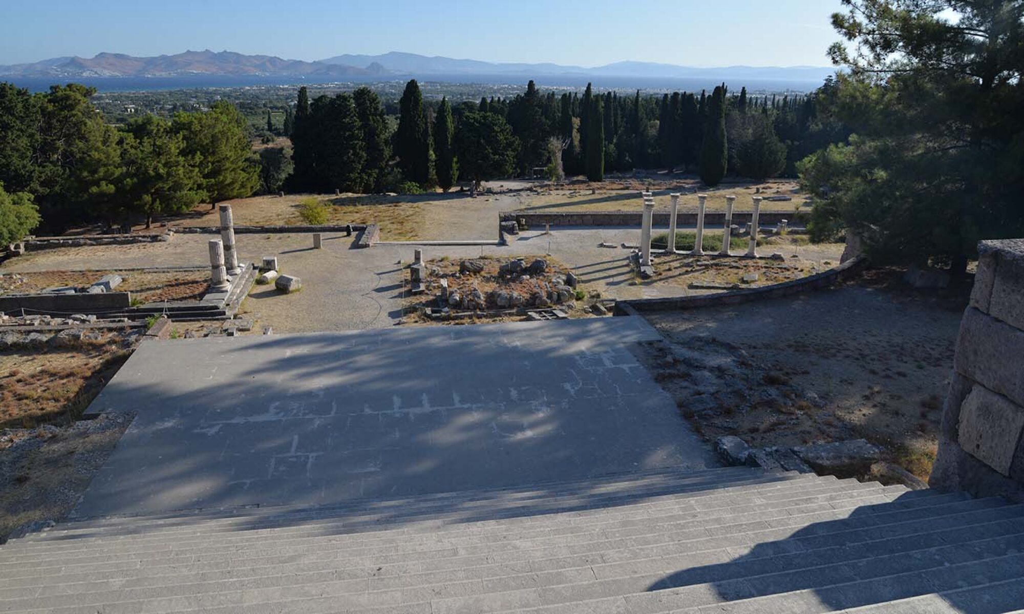
The Asklepieion of Pergamon
A short site biography
Gives a brief overview of the sanctuary, and introduces the online deep map (CW)
Story map collection
A collection of the story maps below, which can be browsed all together.
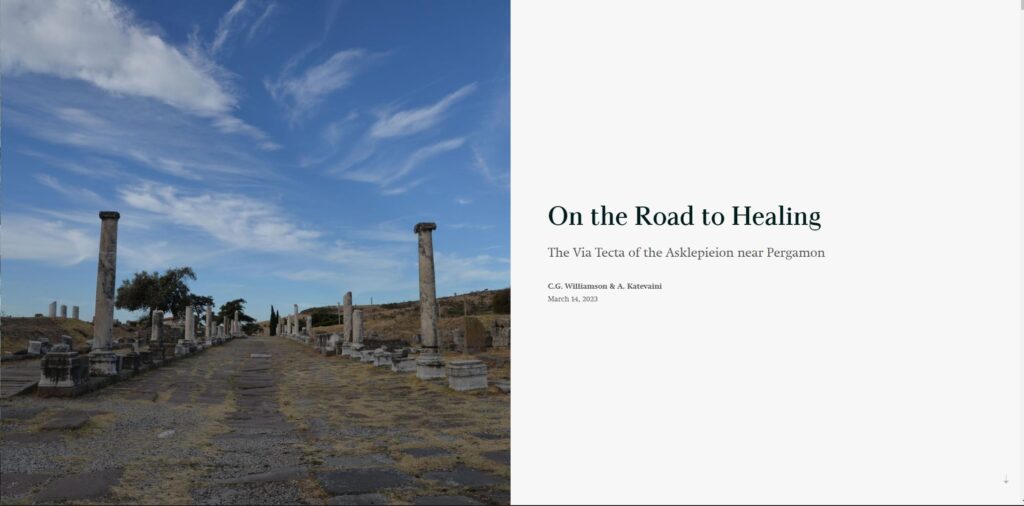
On the Road to Healing
the Via Tecta
Describes the sacred way that linked the Asklepieion to Pergamon, then takes us on an imagined journey (CW/AK)
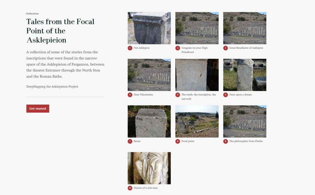
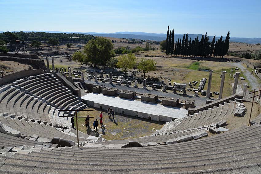
Tales from the Asklepieion
Created for the Letteren Festival, this story map collection presents 10 short stories drawn from inscriptions in a tight area near the altar – the focal point of the shrine! (AK)
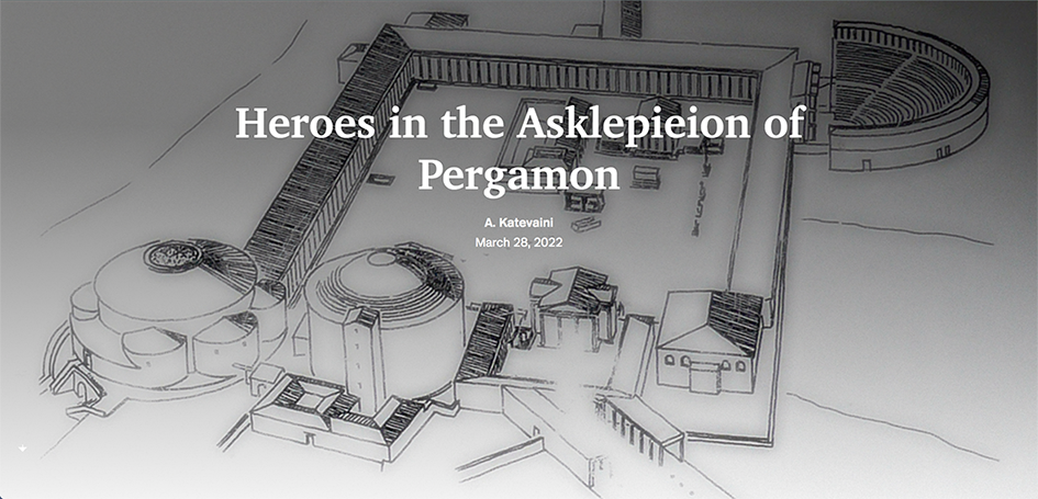
Heroes in the Asklepieion
Acts as a parent story map for elite figures known via inscriptions / statues in the sanctuary – work-in-progress! (AK/CW)
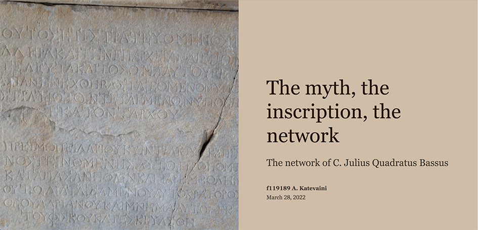
Julius Quadratus Bassus – the myth, the inscription, the network
One of the ‘heroes’ who earned his place in the Asklepieion through his genealogy, extensive network, and relations to Rome (CW/AK)
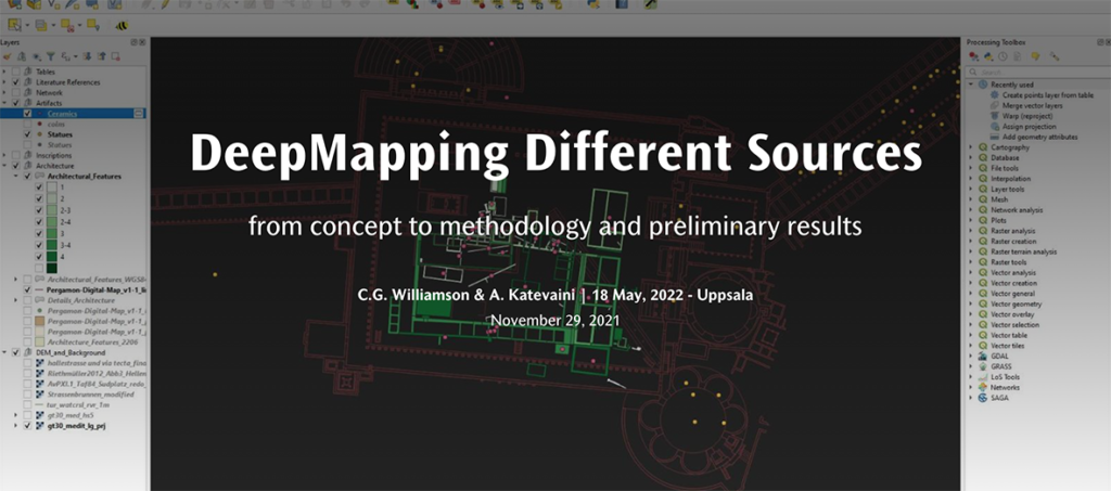
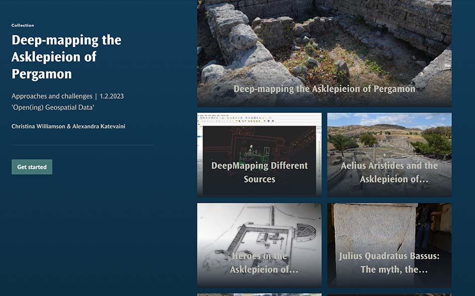
Deep-mapping different sources
Elaborates on the different sources and how they are integrated in GIS (AK)
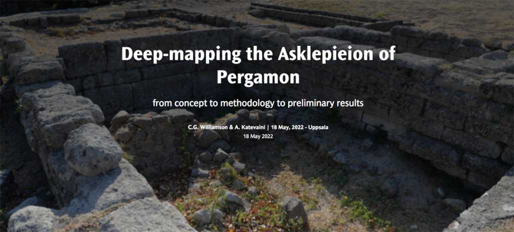
Deep-mapping the Asklepieion
Story map used to set out the aims and design of the project (CW/AK)
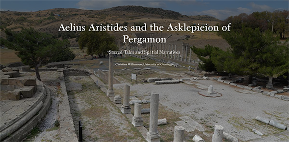
Aelius Aristides
One of the first story maps – still work-in-progress! Concerns Aristides’ spatial link to the Asklepieion. the ritual topography, and travel networks. (CW/AK/PH/AG)
The use of story maps began with the support grant from the Geodienst in 2020, with the assistance of Paul Haan (PH) and Annemarie Galetzka (AG). Alexandra Katevaini (AK) was able to take this to a new level, not only as a tool to communicate research, but also as an educational tool that students can use to tell spatial stories drawn from their own research.