Last Friday (17 March) we just gave another edition of our story map workshop for this year’s MA course Atelier Living Heritage, taught by Professors Knoeff and Santing of the History Department at the University of Groningen.
In this session I first discussed the spatial turn, how maps always tell stories, and what deep maps are. The students read Earley-Spadoni 2017 ahead of time and came up with a lot of good ideas on what deep maps are, focusing on the many layers that they can have.
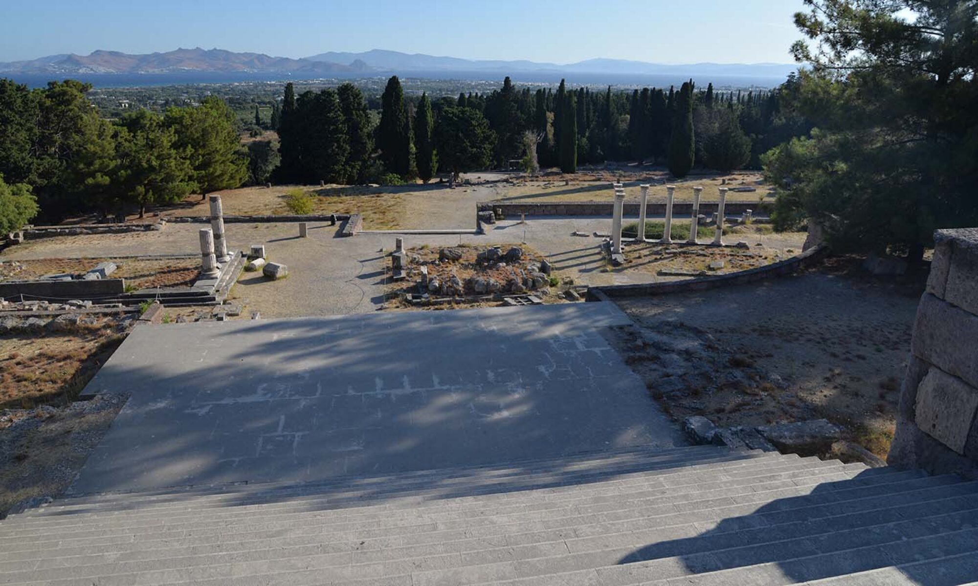
We then talked about Story Maps as a way to convey a deep map, and then Alexandra explained what a story maps is, using a new example: On the Road to Healing. This new story from the Asklepieion in Pergamon focuses on the Sacred Way, or Via Tecta, that links the Asklepieion to Pergamon.
To open the On the Road story map separately, click here.
See also our growing collection of story maps on the Asklepieion here
I wrote a short text, gathered images, and Alexandra turned them into this exciting and immersive story map, which centers on the story of Tapari, who traveled to the Asklepieion in search of healing for their eyesight.
NB: spoiler alert – this is based on a real Tapari known from the inscription IvP III 111b!).
Using the text and images as pre-fab building blocks, students got to recreate this story map, while getting ideas about how they could use story maps in their own projects. They are all responsible for making some kind of public outreach, and towards the end we discussed how story maps might be a good way to communicate information of historical objects, architecture, events, or personal experiences (like Tapari’s). The students have a lot of individual projects going on, connected to different museums or collections in and around Groningen, and they had several interesting ideas about how to story maps could create a good link with their audience.
Alexandra has also instructed students from previous courses on the use of story maps. Another recent MA course at Groningen, Urban Timescapes in the Graeco-Roman World, which focused on the use of temporal narratives in establishing social and political presence, through sanctuaries, public spaces, and also necropoleis and other ritualized settings. Students came up with some excellent story maps, which they presented in the Reality Theatre at the University of Groningen, with the help of Adri Mathlener.
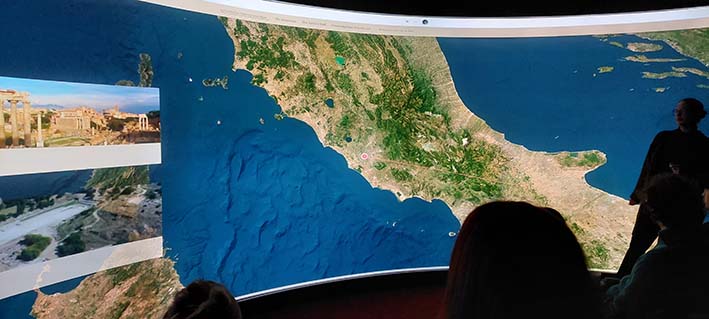
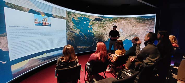
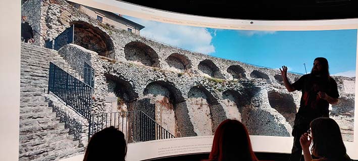
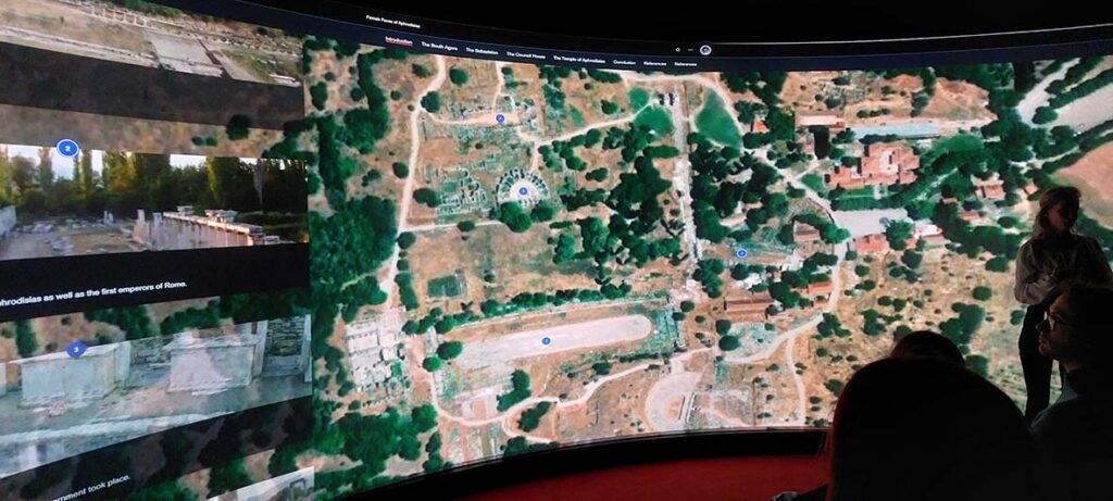
Their final story maps give excellent insights into different ways that time was used in urban contexts, in examples that range from Asia Minor, the Aegean, the Greek mainland, and the Italian peninsula.
To open this collection in a separate window, click here
References
T. Earley-Spadoni (2017) ‘Spatial history, deep mapping and digital storytelling. Archaeology’s future imagined through an engagement with the Digital Humanities’, Journal of Archaeological Science 30, 95-102.