On 15-16 May we organized the international workshop ‘Religious Temporalities and the Ancient City’
Time might arguably be conceived as an urban invention. At least the measurement of time, such as the division into years, months, weeks and hours, is geared towards a synchronicity aimed at coordinating collective actions and maintaining a healthy urban rhythm. But time is also a religious matter, with calendars marking festival cycles, and the deep sense of time represented by gods and heroes, and the stories told about them. Urban and religious temporalities took on many forms, but who were they for? Who shared in these temporal experiences? How did they contribute to the vibrance of the city?
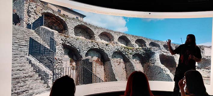
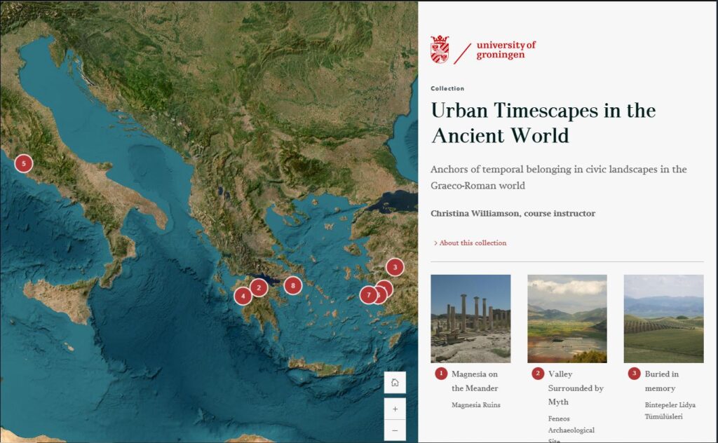
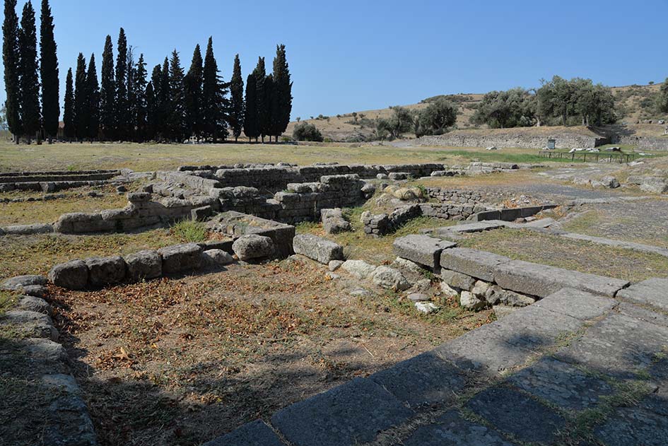
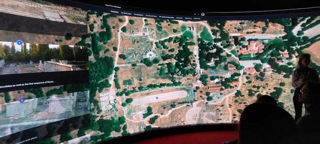
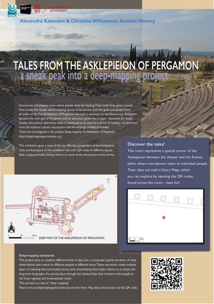
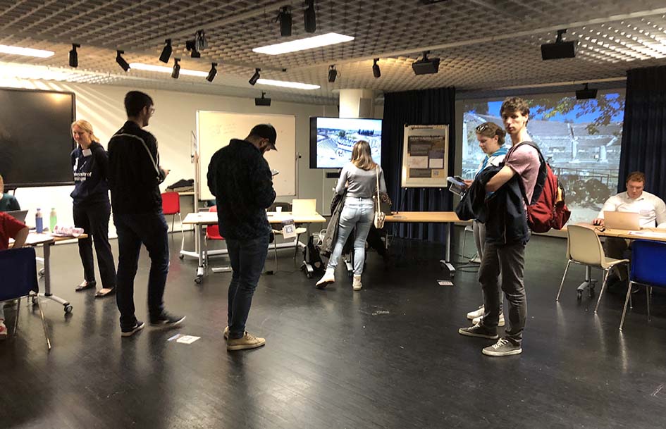
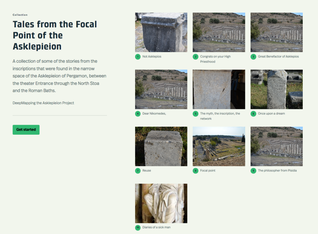
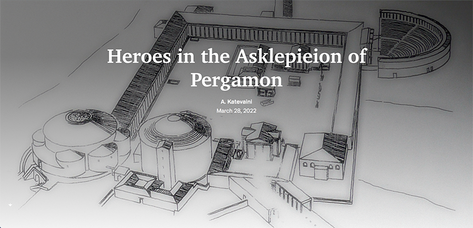
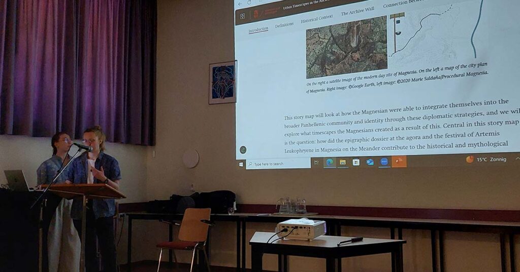
These are some of the questions that were at the center of the workshop ‘Religious Temporalities and the Ancient City’ held at the University of Groningen, 15-16 May. Keynote speaker was Jörg Rüpke, from the Max-Weber-Kolleg at Erfurt, who opened up several themes on the intersection of divine and human timescapes that were further addressed in the workshop. Sixteen papers were presented, divided into six themes. Festival time was addressed from an urban iconographic perspective (Zahra Newby, Warwick), through a linguistic study of festival revivals (Steven Brandwood, Columbia), and with a focus on the archaeology of the remains deposited from animal sacrifice (Astrid Lindenlauf, Bryn Mawr College). The corporeal experience of time was explored through critical fabulation (Demi Storm, Nijmegen) and the intersection of urban deathscapes with timescapes (Ecem Usumi, Antalya University and Asuman Lätzer-Lasar, Marburg). Representations of temporality and temples was assessed from a close reading of the iconography at the Temple of the Palmyrene Gods at Dura Europos (Nicholas Aherne, Groningen), and of the eponymous role of priests in marking time in the Greek world (Angelika Kellner, Mannheim). Urban temporalities in Asia Minor included the temporal depth of Seleukid ruler cults through genealogies (Thomas Faassen, Groningen), the deep past of Sardis anchored in its temples (Rogier van der Heijden, Freiburg), and the deep time of divine names and epithets in urban foundations (Giuseppina Marano, Pisa). Divine urban foundations in the Greek world was further traced through Pausanias (Greta Hawes, Maquarie), and the perception of ancient cities in Roman Egypt (Lucas Weisser-Gericke, Basel). The last session focused on Christian perceptions, illuminating the role of the night (Despina Iossif, Athens) and Roman Egypt, particularly the Kalends of January as seen by John Chrysostom (Elsa Lucassen, Amsterdam, also Hakan Ozlen, Wisconsin). The venue of the Mennonite church in Groningen provided a relaxed and informal atmosphere in which speakers and members of the audience could engage in fruitful discussions. The overall quality was high and there are plans to publish the workshop. A highlight was the presentation by two students (Nynke ter Heide and Gerthia Luning) from the Groningen MA course ‘Urban Timescapes in the Ancient World’ who presented their story maps that the audience could browse through (link).
The workshop was the product of a collaboration between Sofie Remijsen (University of Amsterdam) and Christina Williamson and Pim Schievink (University of Groningen), this workshop was organized with support the Groningen Research Institute for the Study of Culture (ICOG) and CRASIS, the interfaculty research institute for the study of the ancient world, and as well as funding from two OIKOS research groups (‘Cultural Interactions in the Ancient World’ and ‘Cities and Settlements’) and the Netherlands Institute for the Near East (NINO).
For more information, see https://religioustemporalities.wordpress.com