In previous blogs we have discussed ways that we taught story maps in the classroom (Atelier Living Heritage). We have continued this in different editions of this course, creating new story maps each time. Hannah Jonkers joined the last round, helping students learn about story maps.
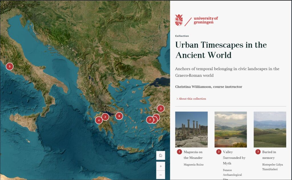
Story Maps became a central teaching tool in the MA course ‘Urban Timescapes in the Ancient World’, running in 2022 and again in the fall of 2024. In this course we taught students about the importance of areas where time and space come together in meaningful ways in ancient cities, that gave those living there a sense of deep time and a tight connection to place. This was explored through religion, through public monumentalized space, and through funerary monuments – all of these spaces showed many different temporalities to be active, at different scales, and for different audiences.
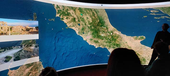
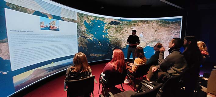
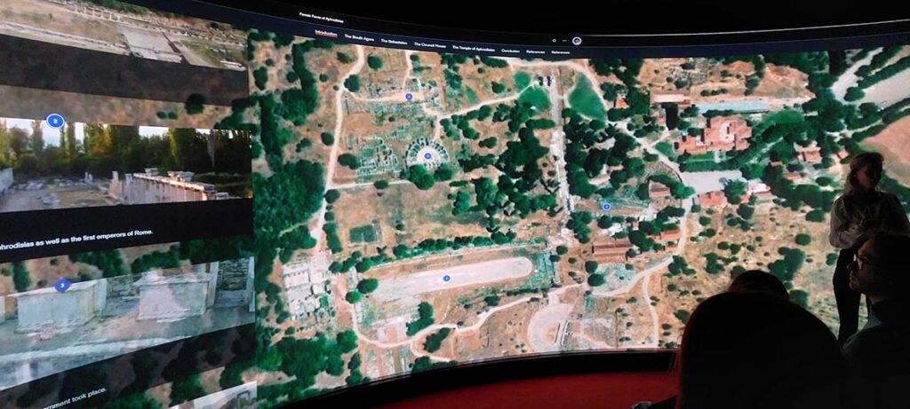
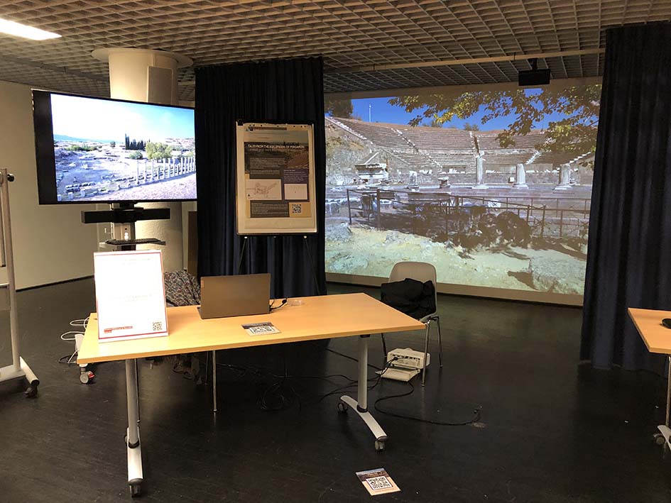
A central feature of this course, besides story maps, was the use of the Reality Theatre in the Smitsborg CIT complex at the university of Groningen. This gave students an immersive experience which helped them not only understand but also experience for themselves the complex impact that some temporal narratives could have on space. We also had students present story maps of their own as a final assignment, which they got to present in the Reality Theatre too. Besides undergoing the experience, they also learned how to guide others through their narrative.
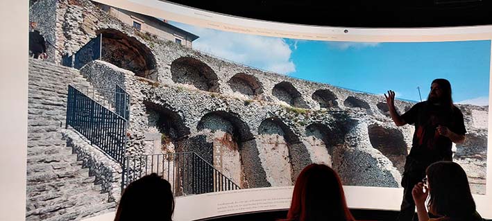
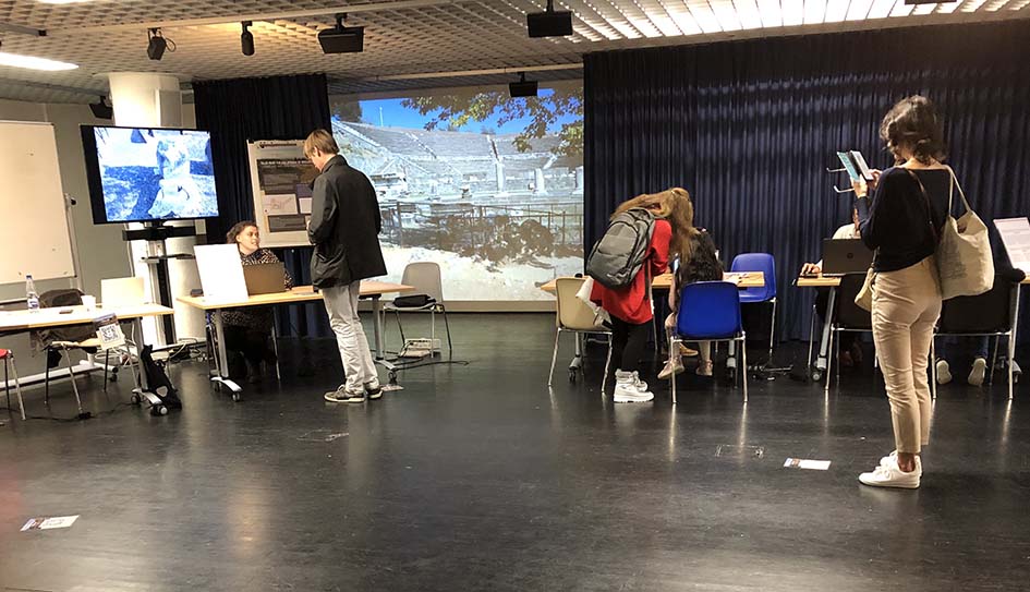
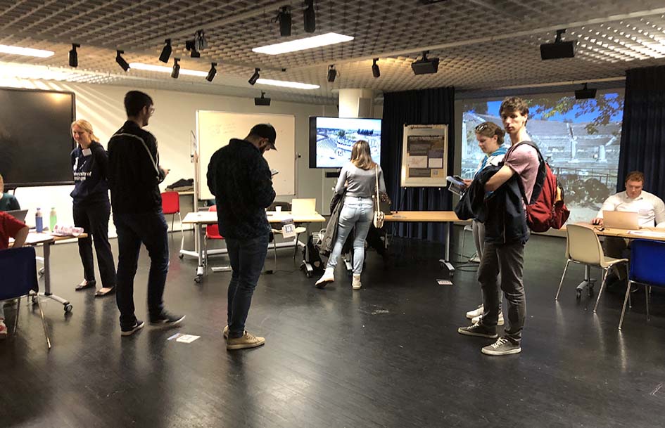
In 2025 we were asked by the CIT Visualization team to present for a wider audience our approach and use of the Reality Theatre. This was for their ‘XR Hub’, an event in which they showcase projects or facilities that they offer to research. The Urban Timescapes course was selected to be presented on 3 April. I gave a talk entitled on ‘Story Maps and the Reality Theatre: a path from research to educational tool‘, in which I laid out the process that we underwent, from starting out with Story Maps through the grant from the Geodienst, to implement the tool for public outreach, as a research tool, and finally as a teaching tool.
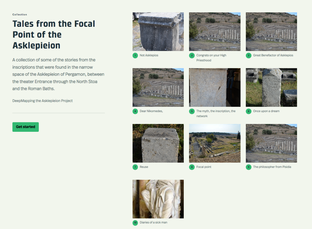
Following this, two students from the 2024-25 course, Nynke ter Heide and Gerthia Luning presented their Story Maps in the Reality Theatre. You can get a view of the story maps here.