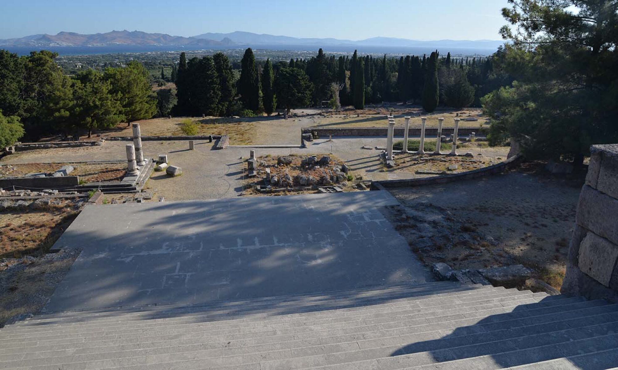
The current project focuses on the Asklepieion of Pergamon, and mapping the manifold stories through its sacred space. The Asklepieion is perhaps the richest of the three case studies in variety of data, and provides a good way to explore the different possibilities of creating a deep-map.
Methodology
Deep-mapping can take a variety of forms, but if you really want to apply spatial analyses then a good start is with GIS – despite the drawbacks, misleading representations, or even methodological hypocrisy of using a metrical tool to analyze phenomenological perceptions. Nonetheless, GIS has the capacity to act as a reservoir for a wide variety of data.
Assimilating data in GIS
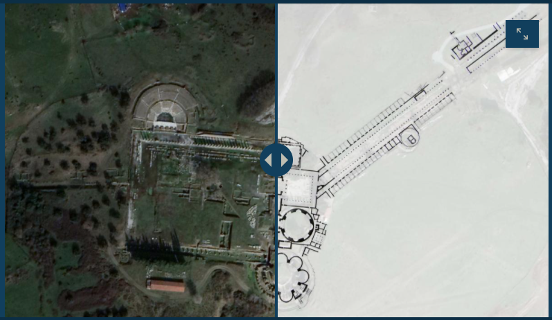
In deep-mapping the Asklepieion of Pergamon, the focus is on how narratives interact with space but also each other, to produce several layers of meaning. This means collecting a variety of spatial data, starting with the topography of the site, but also the inscriptions, and the relevant data in Hieroi Logoi of Aelius Aristides (see next section). This approach, focused on spatial narratives, complements the current archaeological and geophysical fieldwork now being conducted in the area, directed by Ulrich Mania in the context of the DAI Project ‘Transformation of the Pergamon Micro-region’. See also Pirson, F. et al. (2021). Pergamon – Das neue Forschungsprogramm und die Arbeiten in der Kampagne 2019. Archäologischer Anzeiger, 2020/2, 1-245.
With the help of Pim Schievink and Alexandra Katevaini, I began collecting data pertaining to the Asklepieion of Pergamon. Sources are principally the Altertümer von Pergamon XI. Vols 1-5 (1968-2011) Ziegehaus, de Luca, Hoffmann) from the 1958-1969 excavations.
Facilities for reproducing the large plans from the AvP for use in GIS were pretty limited in 2020, but the Geodienst was nonetheless able to georeference the scans, creases and all, to indicate the location of the different structures.
The next step is collecting the data in spreadsheets – I started with the inscriptions from the Asklepieion (compiled by Pim Schievink, from Altertümer von Pergamon VIII. Teil 3 (Habicht 1969)) and the relevant textual passages in Aelius Aristides’ Hieroi Logoi – with these I am also looking beyond the Asklepieion for spatial references.
These are then transformed to shapefiles, or layers of information that are imported into a GIS environment – here we use ESRI ArcGIS. The points from Aelius Aristides were converted by the Geodienst team, while Alexandra Katevaini connected the inscriptions to polygons defined based on the map.
This process is described in more detail, with examples, in a story map, created with ArcGIS online: Deep-mapping the Asklepieion of Pergamon
We recently presented this at the Hieron Spring 2021 workshop ‘Asking About Asklepios’ (06.05.2021), a Brown Bag session of the Groningen Ancient History Research Collective (19.05.2021) and the Athens Greek Religion Seminar at Swedish Institute at Athens (25.05.2021) – see News and Events.
A shout out to all those who provided comments and suggestions! Your feedback will help move this project forward in significant ways!